Important Sacramento Valley Flood Operations Plans Being Updated

Oroville Dam and its bathtub ring in 2021. Credit: CA Dept. of Water Resources.
Originally published Feb 26, 2026. Updated March 25, 2026.
Nearly all the big reservoirs that surround the Central Valley (and many in the Southland as well) conduct flood operations according to U.S. Army Corps of Engineers flood “manuals.” The manuals are now more than a half century old.
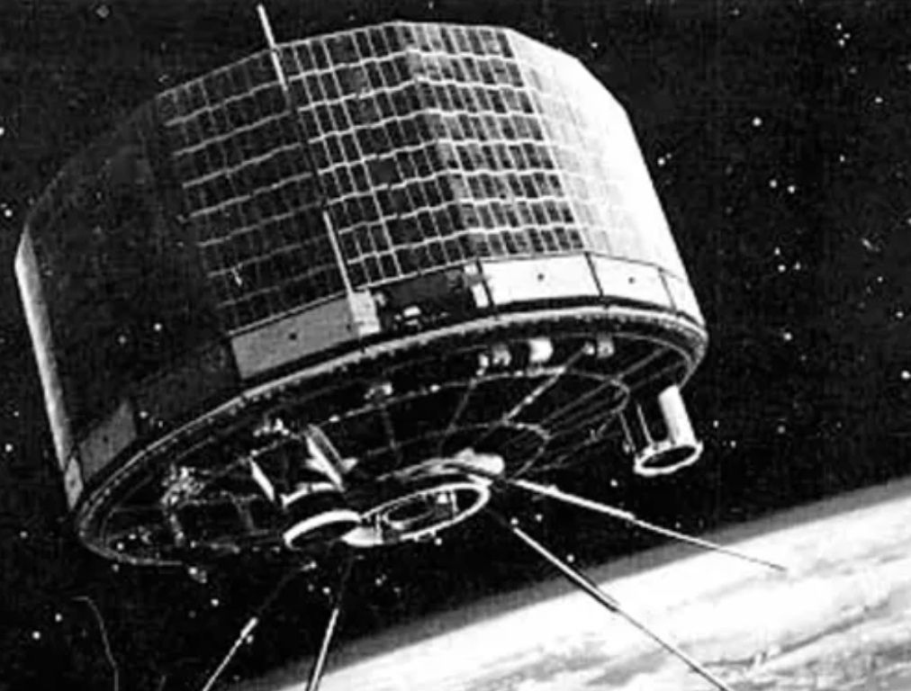
TIROS-1, the world’s first weather satellite, launched by NASA. Credit: NASA.
What’s happened since then?
Well, weather satellites and much more capable computers would be one example.
First in the Central Valley, the U.S. Bureau of Reclamation’s million-acre-foot Folsom Dam’s Corps manual was updated in 2019 when its new floodwater management spillways became operational a few years back. Forecasts by the National Weather Service’s River Forecast Center (using weather satellites and computers) now help guide operations. Most of the time, it allows the dam to capture more water (for good or ill), and during major flood times, it uses the new infrastructure that the old manual could not take advantage of.
The remaining really big tributary Sierran watersheds up the Sacramento River form the Yuba and Feather Rivers, which join west of Marysville and, shortly after, together flow into the Sacramento. Their 1970s-era manuals have never been updated.
But that may be changing. The Corps of Engineers just closed the comment period for receiving scoping comments on its upcoming environmental impact statement (EIS) or assessment (EA) on their plans to update these two water control manuals.
Yes, an EIS can be the refuge of creative writers within a supposed non-fiction genre. But the water control manuals affect the real world. Lives and property are at stake. Flood operations shape the geography and functions of floodplains, their natural resources, and how people use lands still prone to flooding.
So why now?
Yuba County Water Agency (YCWA) is planning to add more flood-control spillway capacity for its million-acre-foot New Bullards Bar Dam. It will need to have operating instructions. Its flood reservation (space that must be left open during the wet season to catch flood waters) is unusually small, and the Yuba and Feather River Basin down in the Valley is more susceptible to flooding than the capital city just downstream.
The California Department of Water Resources (DW), which manages the 3.5-million-acre-foot Oroville Reservoir, also wants to update its Oroville operations manual. To its credit after the 2017 Oroville Dam spillways incident, DWR increased Oroville’s winter flood control (empty) space to hopefully avoid having to use the auxiliary spillway again—at the price of a little water for the state water contractors in the south state. The auxiliary (“emergency”) spillway is the one that nearly failed, and forced the evacuation of 180,000 people in 2017. Issues there remain—it still could roll thousands of cubic feet per second over the steep bare hillside, throw large portions of the hillside into the canyon below, and risk the integrity of the powerhouse operations at the dam (and perhaps more).
Fixing that problem with a complete spillway could cost hundreds of millions, and for nine years DWR has invested considerable paper and jawboning resources to keep FERC from ordering them to do just that.
For DWR, a forecast-influenced reservoir operation (FIRO) with advanced rules for the coordinated operations between Oroville and New Bullards Bar Dam on the Yuba gives them a chance to conditionally store water in their expanded flood reservation (empty space) and only release that water when very large storm events show up on the satellites and weather maps.
Working together, each agency can also benefit from the actions of the other.
What will happen?
The Army Corps of Engineers is, after all, the U.S. Army. Operational secrecy is often part of the mission profile. Fortunately, we have had a sneak preview from a UC San Diego/DWR/Yuba County Water Agency/Weather Service collaboration. That team produced Yuba Feather FIRO Final Viability Assessment, a work of considerable erudition, scholarship, and significant and mostly laudable proposed operational changes. With that start, the Corps may achieve some success here.
Nevertheless, the Corps may be walking onto some dangerous ground long fought over by the powerful but competing factions within DWR. So, part of our job was to provide the Corps with some deep background on the minefield they may be stepping in. I concede that our 39-page comments may be some of the densest writing you are ever likely to read (lots of 10-point footnotes), but I hope the Corps can make the effort to imbibe deeply.
Whether the Corps folks will value our help remains to be seen.
Resources